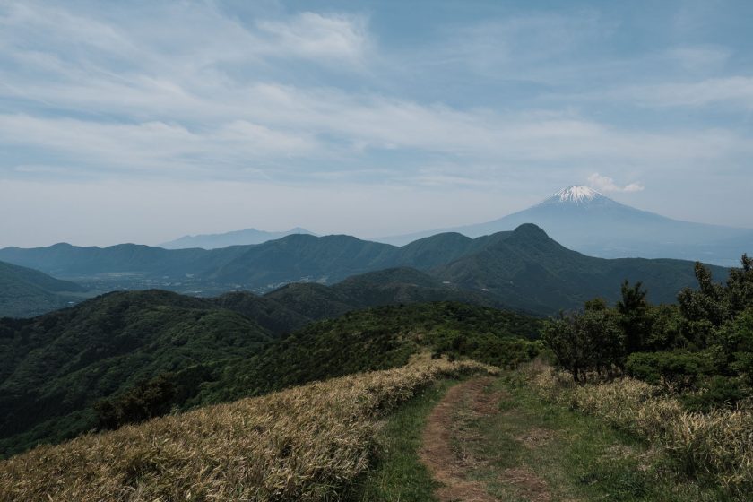
Are you travelling to the Hakone area and do you feel like a challenging hike? Or is the Hakone Ropeway to Ōwakudani closed because of volcanic activity and you need to find an alternative plan (which is what happened to me)? Here’s the perfect hike! The route I did is slightly over 23km long but you can cut it down to about 15km and finish in Sengokuhara instead of the north side of Lake Ashinoko.
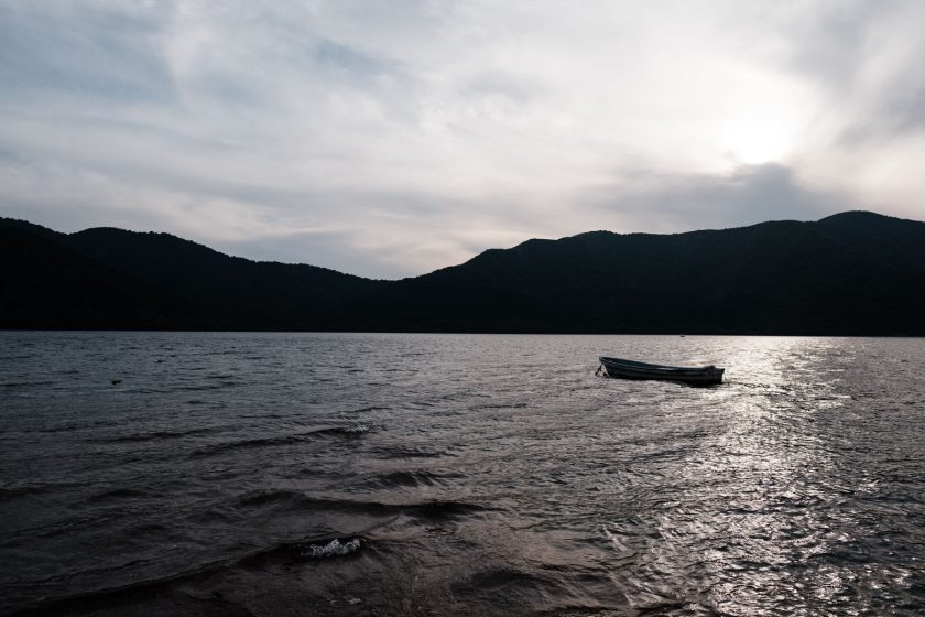
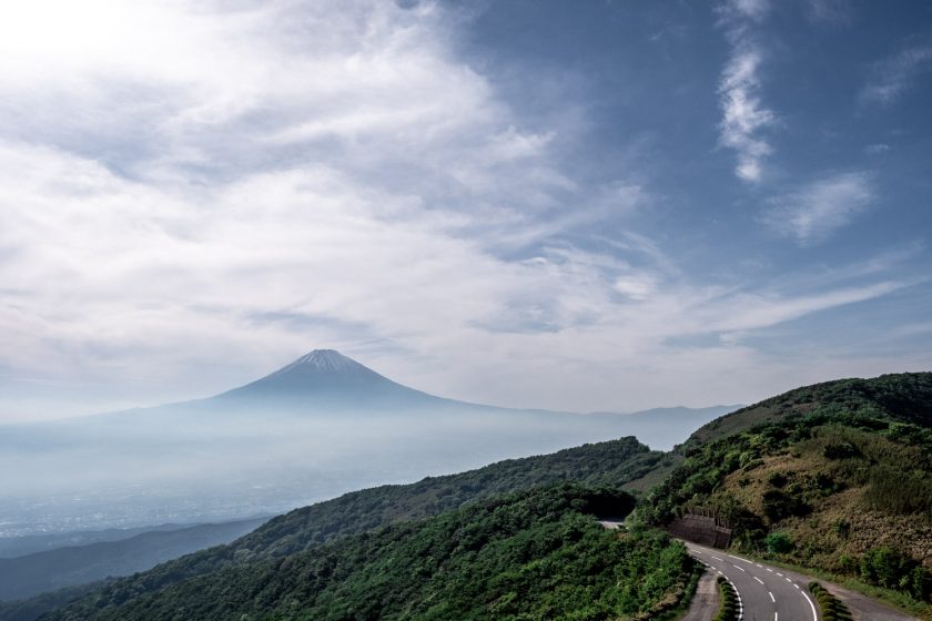
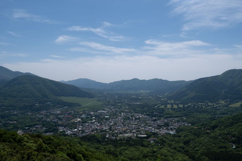
The hike starts by the train station in Gora, which is also where my hostel was located (Emblem Flow Hakone). It’s a nice and modern hostel with an onsen if you’re searching for a place to stay… The hike is quite easy to follow and it’s full of stunning views. As soon as you gain some altitude you’ll be rewarded with a view of Mt Fuji that stays with you until you reach Mt Kintoki (also called Mt Ashigara). You’ll also be able to see Ōwakudani on your left for most of the hike. And Lake Ashinoko unveils itself later on closer to Mt Kintoki.
I found this track challenging for three reasons – it’s long(ish), there’s rarely a flat bit and on the day I did it it was around 35 degrees so don’t forget to pack a sunscreen and lots of water. Luckily there’s a little refreshment place on top of Mt Kintoki, which is also the busiest place of the whole hike. I would have barely met a single living soul otherwise.
As I motioned above, if you don’t feel like doing the whole track you can climb Mt Kintoki and then take the same path down to finish off in the nearby town – Sengokuhara.
The terrain is quite easy, however, around Mt Kintoki you’ll need to use your hand on a few occasions. The hike finishes in Hakone by the north part of the lake. From there you can take the bus back to Gora or anywhere else within the Hakone area.
You can download the GPX coordinates for your GPS device below the map by clicking on the download button. Have fun and enjoy Japan!


