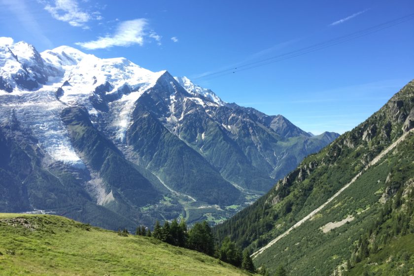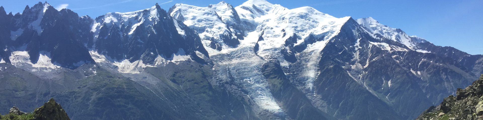
This is a great route that takes you to 3 lakes (Lac Cornu, Noir, Blanc) in the Aiguilles Rouges, a massif of Haute-Savoie, by Chamonix in France. This 13.7 km long hike can be easily extended by approx. 6 km if you go all the way to the starting point (Planpraz) and thus making the route circular. The added value of this track is the stunning view of Mont-Blanc on the other side of the valley that you can see from almost anywhere. If you’re visiting Chamonix during the summer time you shouldn’t miss this hike out!
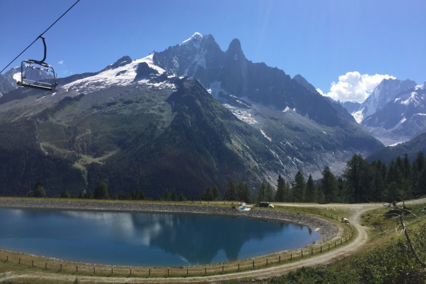
The GPS track starts at the top station of Planpraz (2000m) that opens at 8.15am and closes at 6pm (between 15th July and 20th August). Unfortunately, we were too slow and didn’t manage to make it all the way back and that’s why we took the cable car back to Chamonix from la Flégère.
Once you set off from Planpraz it’s about 3km of gentle ascending to get to Lac Cornu. The GPX track won’t take you all the way to the lake (as we decided not to go there) but feel free to make a little detour. Instead, we climbed to the top of Aiguille Pourrie (2511 m) that rewards you with an awesome view. The climb itself is not difficult but you have to be using your hands and if you’re not used to the altitude you may experience an increase in the breathing rate.
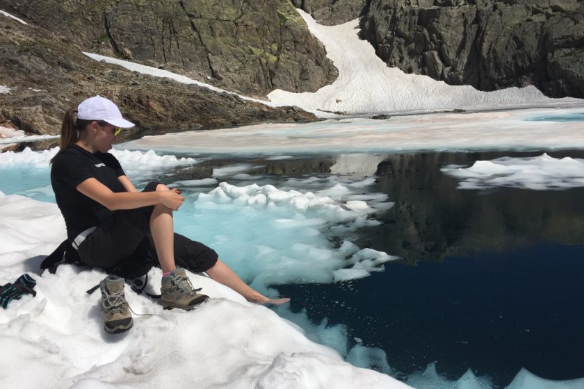
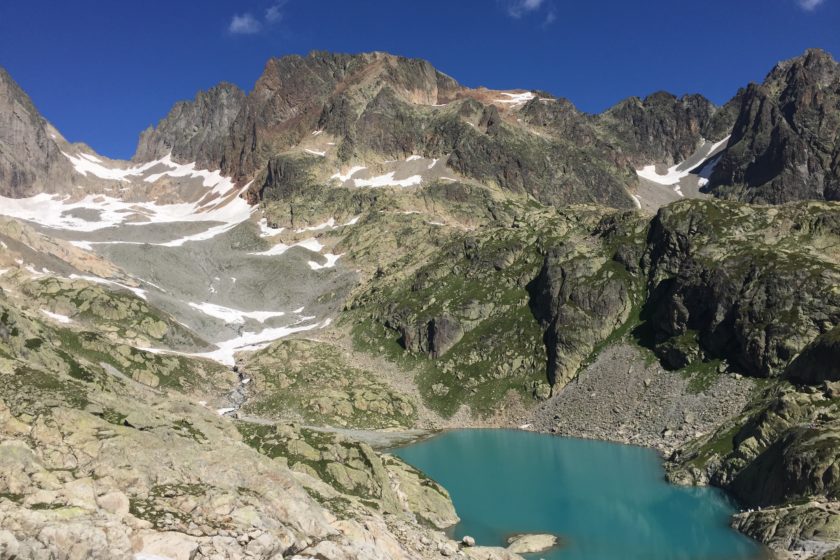
When you re-join the route it’ll take you just a little while to get to Lac Noir that is surrounded by snow. For an extra amount of fun you can enjoy some snow sliding on your way back to the main path. After traversing through the Col de la Glière, which may sometimes be a bit challenging (due to the snow), it’ll take you slightly over 5 km to reach the last lake of this route – Lac Blanc. From there you’ll be descending for 3 km all the way down to the top station of la Flégère.
At this point, depending on how much time you’ve got left, there are three options:
1) Taking the cable car down to Les Praz-de-Chamonix
2) Walking back to Planpraz (approx. 6km) via Grand Balcon Sud
3) Walking all the way down to Chamonix using one of a few popular routes
We really hope you’ll enjoy this hike as much as we did. The GPX coordinates can be downloaded below the map and feel free share your thoughts with us in the comments below.