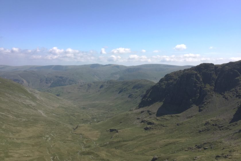
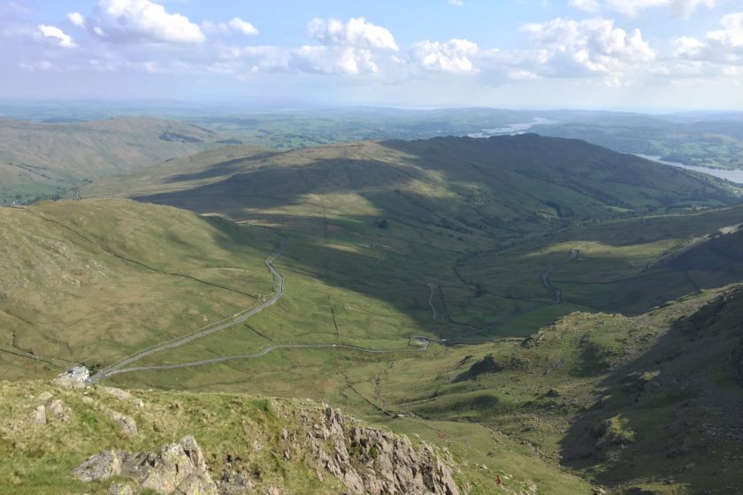
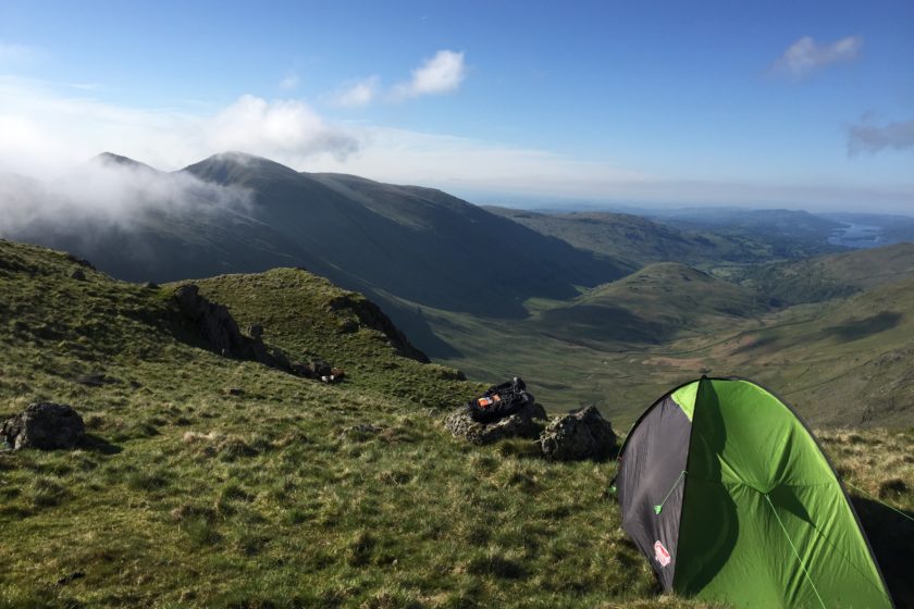
This is a stunning wild camping route that starts and finishes in Patterdale and takes 3 days at a normal pace to finish. It’s 39 km long and takes you around several peaks of the Lake District (Helvellyn, Seat Sandal, Fairfield, Red Screes, Stony Cove and High Street). If you follow our GPS coordinates (that can be downloaded below as gpx) I believe that you’ll particularly enjoy the camping spots that offer some awesome valley views as well as solitude (no other backpackers guaranteed). The one thing to point out is that there aren’t many nice and clean streams to refill your water bottles so once you see one always go for it. On the second day you’ll have to cross a road with a pub right next to it so it’s a good place to replenish your supplies.
Day 1 (Helvellyn, Seat Sandal)
If you’re coming by car I’d recommend to park it in the car park belonging to White Lion Inn. Although it says it’s only for guests it’s spacious enough and we were told by some local it’s fine to park there for a few days. The GPS route starts exactly there so you won’t have troubles to find it.
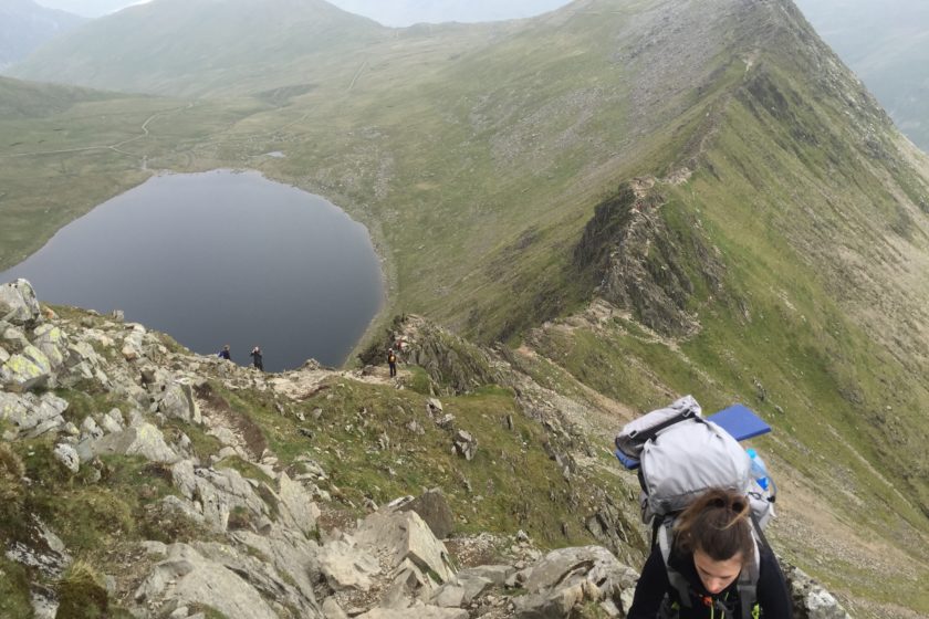
Your very first peak that day will be Helvellyn, the 3rd highest point in both the Lake District and England, and you get there after approximately 6.5 km. You can decide whether you reach it through Swirral Edge (considered to be easier) or Striding Edge (the path we took). Striding Edge, a Grade 1 scramble, is an edge ridge exposed on both sides so if you suffer from vertigo it’s better to take the other path. However, we made it (almost) without any difficulties even with our heavy backpacks so I’d recommend you to accept the challenge and take probably the most popular ridge walk in Britain.
Once you enjoy the view from the summit (950 above sea level) there’s about 5 km left until you reach the first wild-camping spot. On the way you’ll pass by the lake Grisedale Tarn that you’ll see from the Seat Sandal peak nearby where you’re spending the first night.
* Click on the ‘Download’ button above to get the route
Day 2 (Fairfield, Red Screes, Stony Cove)
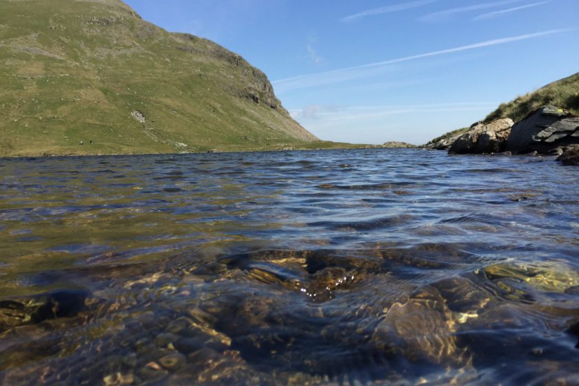
The second day is the longest one with 16.7 km to cover and three peaks to reach. If you feel a bit stiff or sleepy after you wake up I highly recommend taking a quick swim in Grisedale Tarn that is apparently the legendary resting place of the crown of Dunmail. It’s super cold but equally refreshing. After you set off just follow our track which first takes you to Fairfield (873m) and eventually also to Red Screes (776m). From there it’ll be just a short but steep descend all the way down to the road that needs to be crossed so you can get to the other group of hills. As I mentioned in the introduction, if you need to replenish any supplies you can do it in Kirkstone Pass Inn that is situated just there by the road. At this point you still have about 4 km left but your reward is going to be the beautiful view at the next camping spot that is waiting just a short walk after the last peak of the day – Stony Cove (763m).
* Click on the ‘Download’ button above to get the route
Day 3 (High Street)
In total there’s around 12 km ahead of you for the last leg of the hike. High Street, the last peak, is just 3 km away and once you reach it you’ll be mainly descending all the way back to Patterdale, passing by Angle Tarn. There’s some really stunning views ahead of you so try to enjoy them all instead of rushing back to the car.
Btw. if you feel like having a lunch once you’re back by the car I’d suggest to go to White Lion Inn as a repayment for using their car park free of charge…
If you have any questions, suggestions or just want to tell us something regarding this route please do so in the comments below. We’re always happy to hear back from you… Enjoy!
* Click on the ‘Download’ button above to get the route


