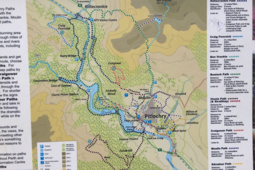
If you ever happen to be around Pitlochry and feel like a quick and rewarding hike, Ben Vrackie is the answer! The 10km long route takes you to the summit of Ben Vrackie (841m), which is the most popular viewpoint in this area. It can be completed between 3 to 4 hours and can even earn you a free pint at McKays bar! Just take a selfie from the summit with Pitlochry in the background and once you get back to the town show it to the bar staff. The GPX coordinates of this route can be downloaded below.
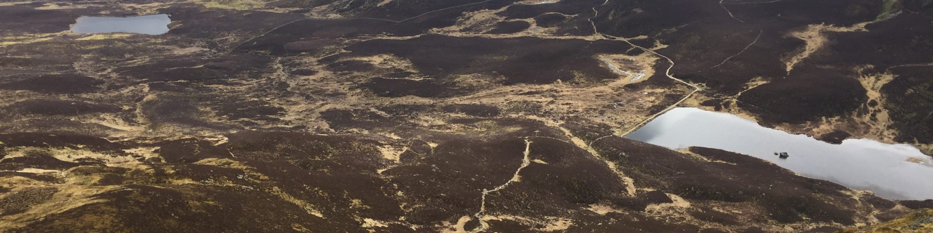
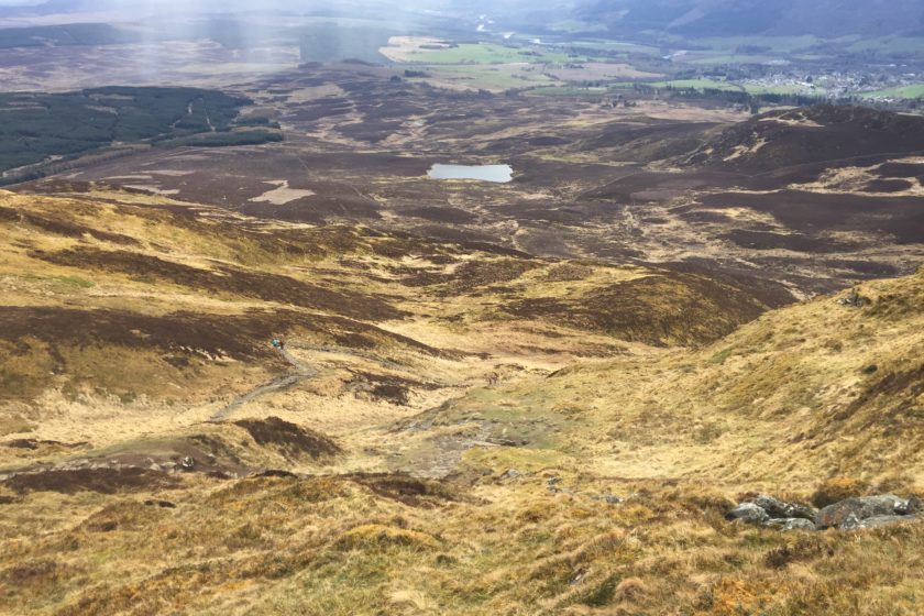
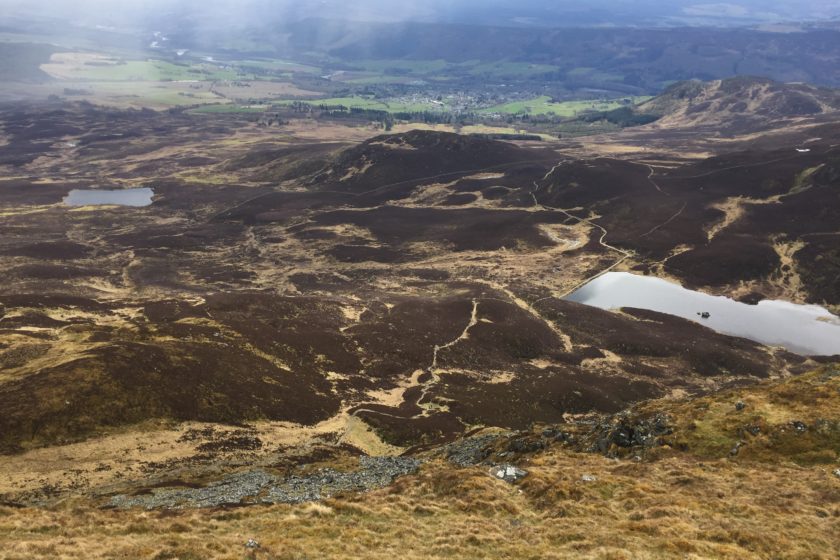
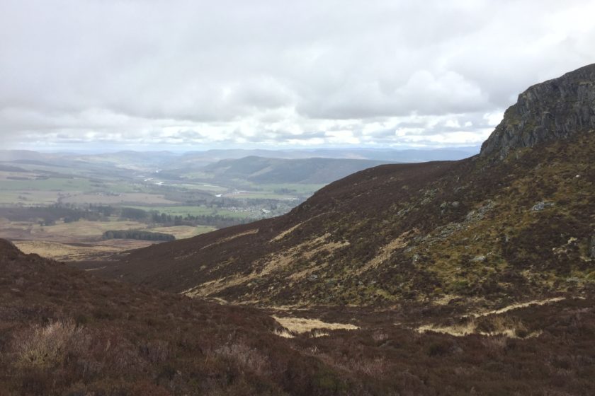
You can start the hike either from Pitlochry or if you´re driving go all the way to Moulin´s Ben Vrackie Car Park. From this point it´s exactly 10km. The first part of the track will follow a little stream in the wood for about a kilometre before getting onto the open moorland. Keep on following the same bridleway ignoring paths to the left until you get to Loch a´Choire. The steps that are now right in front of you will take you all the way to the top. Get ready for a 1.3 km long ascend with stunning views of several nearby peaks including Beinn a Ghlo as well as the summits of Cairngorms.
Before you start descending back don´t forget to take the selfie I mention in the first paragraph so you can enjoy a free and well-deserved pint in Pitlochry. To make the way back a bit different, just before you reach Loch a´Choire take the path on your right. It goes along the lake and takes you by Meall na h-Aodainn Moire back to the same bridleway in the moorland. From here follow the same route back to the place where you started your journey.
Although this route is rather short it´s a perfect choice if you only have a few spare hours. Moreover, the steep climb to the summit is a great exercise. You can download this course in GPX format clicking on the ´Download´ button just below the map. We hope you´ll enjoy it and feel free to share any comments with us.


Cheers for the trail – short but sweet, we had a great hike. Love that you are uploading the GPX coordinates as I am using them with my GPS watch. There aren’t a lot of good sources on the net and I have looked everywhere… so, keep up the good work! P.S. Your cat is super cute – you should take her on a hike (I hear Instagram is going nuts for hiking cats)
Just another nature lover